

Red Rock Low Range: A Self-Guided Bronco Safari in Sedona
Slide the roof back, cue the canyon wind, and let Sedona’s sandstone lead the way.
The morning begins with the top unlatched and the high desert air trying to get inside your lungs. Sedona’s red walls rise without hurry, that iron-rich sandstone holding light like a slow-burning ember. The Bronco’s engine hums a low, confident note against the Coconino quiet. Out here, the rocks don’t just sit still—they posture. The mesas square their shoulders, the buttes throw long shadows, and the track ahead dares you to choose a line.
Trail Wisdom
Know Your Modes
Use Normal for graded roads, Mud/Ruts when it gets slick, and Rock Crawl for slow ledge work. Switch before the obstacle so the Bronco can prep traction and throttle response.
Mind Monsoon Windows
From July to September, start early to avoid afternoon storms and never cross flowing water in washes; flash floods rise fast in this terrain.
Tread Lightly
Stay on designated routes, avoid spinning tires, and skip damp cryptobiotic soils—this desert crust is alive and easily damaged.
Cameras Are Tools
Use the 360-degree camera system to spot ledges and placement, but confirm with a quick walk-around if the line looks questionable.
Local Knowledge
Hidden Gems
- •Merry-Go-Round Rock overlook via Schnebly Hill Road for sweeping canyon vistas
- •Palatki Heritage Site (via FR795) to see well-preserved cliff dwellings and rock art
Wildlife
Javelina, Mule deer
Conservation Note
Stay on designated routes to protect fragile desert soils and archeological sites, and avoid driving on wet surfaces that rut easily after storms.
Sedona is named after Sedona Arabella Schnebly, celebrated for her hospitality; the surrounding red rock formed from Permian-era sandstone stained by iron oxide.
Seasonal Guide
spring
Best for: Wildflowers and cool temps, Clear views after winter storms
Challenges: Variable mud on shaded roads, Wind on exposed ridgelines
March–May offers crisp mornings and vibrant color along forest roads, with comfortable driving conditions for most routes.
summer
Best for: Early sunrise drives, Starry night skies
Challenges: High heat, dehydration risk, Monsoon lightning and flash floods
Plan dawn departures, hydrate aggressively, and aim to be off technical sections by early afternoon during July–September monsoon.
fall
Best for: Golden light and stable weather, Quieter roads midweek
Challenges: Dust on dry roads, Shorter daylight windows
September–November is the sweet spot: mild temps, low storm risk, and photo-ready light across the buttes.
winter
Best for: Snow-dusted red rocks, Solitude
Challenges: Icy shaded ledges, Cold mornings and road closures after storms
Expect freeze–thaw cycles and occasional closures on higher routes; four-wheel drive and smooth throttle are your allies.
Photographer's Notes
What to Bring
Paper Map + Offline GPSEssential
Cell service fades in canyons—back up your navigation with a printed Coconino NF map and offline app.
Wide-Brim Hat and Sun ProtectionEssential
With the top open, desert sun is direct; UPF clothing and sunscreen keep you comfortable.
2–3 Liters of Water per PersonEssential
Dry heat dehydrates quickly even when you’re seated—hydrate before, during, and after the drive.
Compact Tire Repair Kit and Air Gauge
Sharp rocks happen; a plug kit and air check help you handle minor punctures if permitted by the rental policy.
Common Questions
Do I need prior off-road driving experience?
No. The Bronco’s drive modes and cameras simplify the learning curve. Start with easier routes like Schnebly Hill or FR525 and build confidence before tackling rougher roads.
Is a Red Rock Pass required for this experience?
A Red Rock Pass is required for parking at many trailheads, but not for simply driving designated forest roads. Some specific motorized routes, such as Soldier Pass, require limited day-use permits.
What about monsoon season safety?
In July–September, begin early, watch the sky, and avoid crossing flowing water. If storms build, turn around—conditions change fast in washes and canyons.
Can I lower tire pressure for comfort?
Only if permitted by the rental company. Many routes are manageable at standard pressures; reducing PSI without a way to reinflate can cause issues.
Are there restroom facilities along the route?
Facilities are limited away from trailheads. Plan ahead, use designated restrooms when available, and follow Leave No Trace for waste disposal.
What wildlife might I encounter?
Mule deer, ravens, and lizards are common; you may also see javelina. Maintain distance and secure food to avoid wildlife conflicts.
What to Pack
Wide-brim hat and SPF for open-top driving; 2–3 liters of water per person to beat the dry heat; closed-toe shoes for traction when scouting obstacles; offline maps plus a paper backup in case cell service drops.
Did You Know
Sedona’s signature red color comes from iron oxide (hematite) staining in the Schnebly Hill Formation, a Permian-age sandstone deposited about 275 million years ago.
Quick Travel Tips
Start at sunrise to beat heat and crowds; download Coconino NF MVUM and offline maps; check weather and road conditions at the Red Rock Ranger Station; midweek trips offer quieter routes and easier parking.
Local Flavor
Refuel at Sedona Beer Co. with a local lager and green chile cheeseburger, or grab a mesa-view pizza at Hideaway House. For coffee and a pastry before rolling out, stop by Creekside Coffee. If you want a low-key sunset stroll post-drive, the Airport Mesa Overlook delivers a front-row seat to Sedona’s nightly color show.
Logistics Snapshot
Closest airports: Flagstaff Pulliam (45–60 min) and Phoenix Sky Harbor (2 hours). Most trailheads are 5–20 minutes from central Sedona. Cell service is spotty beyond town—carry offline maps. No general permits needed to drive designated forest roads, but Red Rock Pass is required for many parking areas; Soldier Pass motorized access requires a limited day-use permit.
Sustainability Note
These roads traverse Coconino National Forest habitat and archeological sites. Travel only on designated routes, pack out all trash, keep speeds down to reduce dust, and avoid driving on wet soils to prevent long-lasting ruts.
Continue Reading
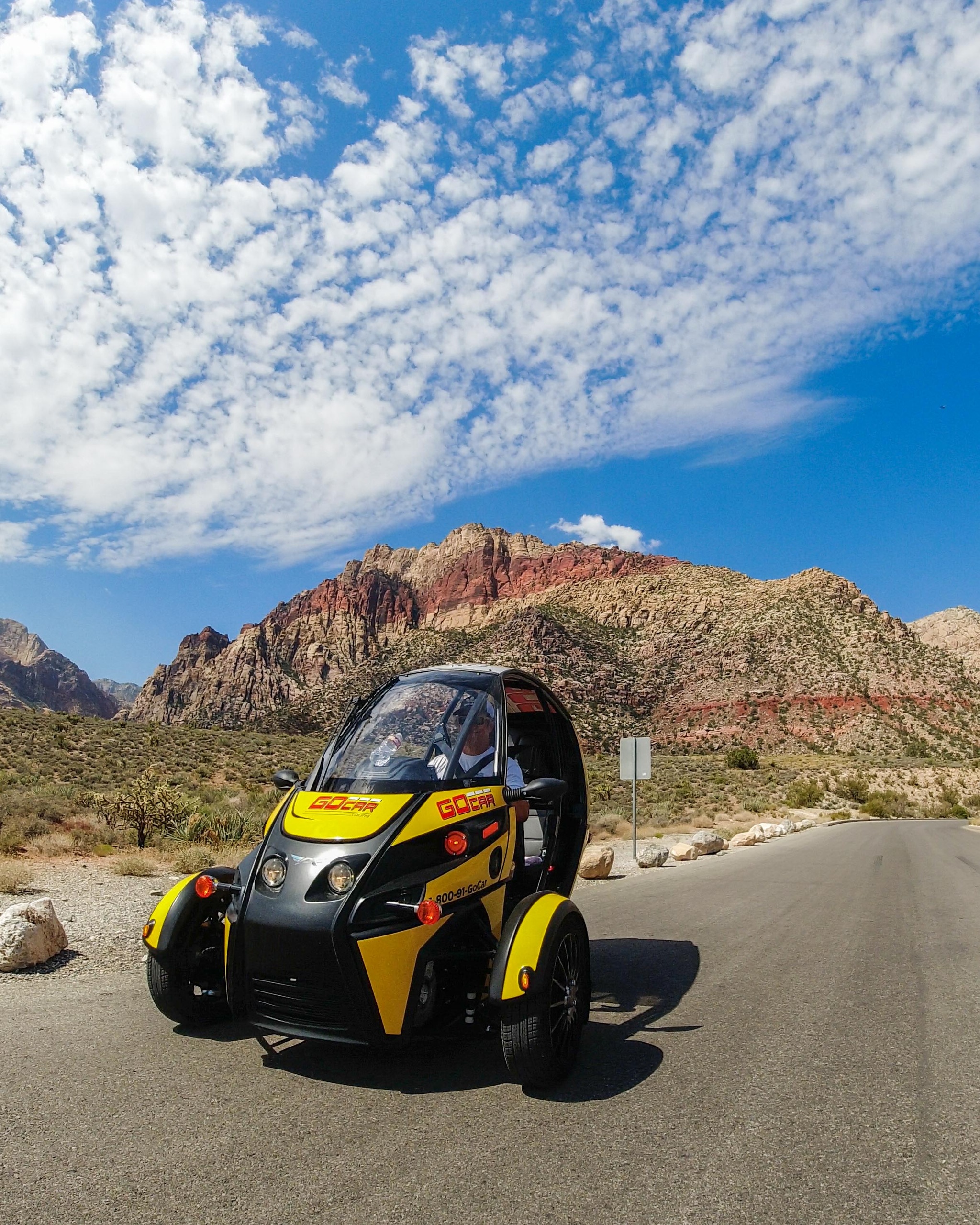
Wind in Your Hair: A Self-Drive Into Red Rock Canyon’s Scarlet Spine
Leave the Strip behind for a four-hour self-drive through Red Rock Canyon’s 13-mile Scenic Loop. In a compact GoCar with GPS narration, you’ll take in towering sandstone, sweep-view overlooks and quiet desert pulls—perfect for photographers, short-trip adventurers and anyone who wants to move slowly through dramatic landscape.
Las Vegas, Nevada

Vows a Mile High: Saying ‘I Do’ on the Grand Canyon Floor by Helicopter
Exchange vows on the canyon floor with a private helicopter, limo service, an officiant, and a professional photographer—an all-in package that turns geology into your wedding backdrop.
Tusayan, Arizona