

Blue Hour Above the Bridges: A Downtown Portland Flight That Reframes the City
A swift, skyline-sweeping flight where Portland’s bridges, rivers, and peaks line up for the perfect blue-hour reveal.
The propeller ticks forward and the little plane hums, eager. Out the window, the Willamette braids a silver line through a grid of lights just flickering awake, bridges casting long steel shadows that tilt and stretch as the sun slips west. Mount Hood stands at parade rest on the horizon, a quiet sentinel with snowlit shoulders. Portland’s skyline is compact, confident, and familiar from the street—Powell’s glow, food carts perfuming corners with smoke and spice, cyclists threading traffic with the certainty of locals—but from a few thousand feet up, the city rearranges itself into story and structure. The river nudges north. The hills roll their shoulders. The bridges lift their chins. You feel the city, rather than merely see it.
Trail Wisdom
Aim for sunset or blue hour
Book a departure 20–40 minutes before sunset for warm light and city lights popping on—Portland at its best.
Wear dark, non-reflective layers
Dark clothing cuts window reflections in your photos; bring a light jacket for cool cabins.
Request a window and mind the wing
Ask to sit ahead of the wing if possible for cleaner forward views; communicate your photo goals when you check in.
Keep gear simple and secure
Use a wrist strap and fast shutter speeds; avoid bulky bags and don’t press lenses hard against plexiglass.
Local Knowledge
Hidden Gems
- •The green-glass sweep of the Fremont Bridge from above—a perfect arc over the working riverfront
- •The quiet, tree-fringed lagoon of Ross Island, a surprising pocket of wild in the urban core
Wildlife
Bald eagle, Osprey
Conservation Note
Pilots follow noise abatement and river corridor guidelines; carbon offsets are an easy add-on. Keep the airport grounds tidy and respect local wildlife zones along the river.
Portland’s nickname, the City of Bridges, reflects a century of engineering over the Willamette; the oldest still-operating lift spans date to the early 1900s. Tilikum Crossing, opened in 2015, was the first major U.S. bridge built for transit, bikes, and pedestrians only.
Seasonal Guide
spring
Best for: Dynamic skies with textured clouds, Snow still on Mount Hood
Challenges: Passing showers, Cooler cabin temps and occasional bumps
Spring brings dramatic cloudscapes and snow-capped peaks. Expect mixed weather and bring layers.
summer
Best for: Longest daylight windows, Consistently clear evenings
Challenges: Midday heat haze and thermals, Occasional wildfire smoke
Summer delivers stable, bright flying and prime sunset light. Opt for morning or evening to avoid haze and bumps.
fall
Best for: Golden light and crisp visibility, Fiery tree color along the river
Challenges: Morning fog banks, Earlier sunsets—popular time slots fill fast
Fall is arguably the sweet spot: clear, calm, and photogenic. Fog can delay early flights but usually burns off.
winter
Best for: Ultra-clear post-storm views, Snow-draped Cascades
Challenges: More frequent weather cancellations, Cold and early darkness
Winter brings big-contrast days when fronts pass. Expect flexible scheduling and dress warm.
Photographer's Notes
What to Bring
Lightweight jacketEssential
Cabins can feel cool year-round, especially near sunset and in winter.
Sunglasses (non-polarized preferred)
Reduces glare without introducing odd banding through plexiglass that polarizers can create.
Camera or phone with fast shutter capabilityEssential
A shutter speed of 1/500–1/1000 sec helps freeze vibration and keep images sharp.
Motion comfort aids
Ginger chews or acupressure bands can help if you’re sensitive to small-aircraft motion.
Common Questions
How long is the flight?
Plan for about 20 minutes in the air; flight times are approximations based on routing, air traffic, and weather.
What are the weight limits?
Limits are 250 lb per person up to 600 lb for a group of three, or 190 lb per person up to 925 lb for a group of five.
Where does the tour depart?
Flights typically depart from Troutdale Airport (KTTD), about 20–30 minutes east of downtown Portland.
What if the weather is bad?
Safety comes first—tours may be delayed or canceled for low visibility, strong winds, or storms. You’ll be rebooked or refunded.
Is the tour family-friendly?
Yes. Children are welcome; ensure all young travelers meet seat and restraint requirements—confirm specifics with the operator.
Can I take photos and video?
Absolutely. Use a wrist strap, avoid flash, and wear dark clothing to minimize reflections. Large bags are best left on the ground.
What to Pack
Light jacket for cool cabins; Dark, non-reflective clothing to reduce window glare in photos; Phone or camera with a wrist strap and extra storage for rapid shooting; Ginger candies or motion bands if you’re sensitive to small-aircraft movement.
Did You Know
Portland’s Tilikum Crossing, opened in 2015, is the first major U.S. bridge designed exclusively for transit, cyclists, and pedestrians—no private cars allowed.
Quick Travel Tips
Book sunset slots early—blue hour sells out; Arrive 15 minutes before your flight for check-in and a quick briefing; Sit ahead of the wing if possible for cleaner forward views; Keep plans flexible in winter—weather can push flights to a clearer window.
Local Flavor
Post-flight, head to McMenamins Edgefield in Troutdale for gardens, a pint, and wood-fired pizza, or swing back into Portland for a food cart pod on SE Division followed by a donut duel—Blue Star’s brioche vs. Voodoo’s neon nostalgia. Beer lovers can toast the skyline you just circled at Cascade Brewing’s sour house or Breakside’s Slabtown outpost.
Logistics Snapshot
Closest airports: Troutdale (KTTD, departure) and Portland International (PDX, major hub); Drive time: ~20–30 minutes from downtown Portland to Troutdale; Cell service: Generally solid at the airport and in flight near the city; Permits: None required for passengers; arrive early, bring ID, and respect weight limits.
Sustainability Note
Small planes leave a footprint—choose operators that follow noise abatement routes and consider purchasing carbon offsets. Keep ground operations low-impact: pack out trash, stay on marked airport walkways, and support local businesses that prioritize sustainability.
Continue Reading
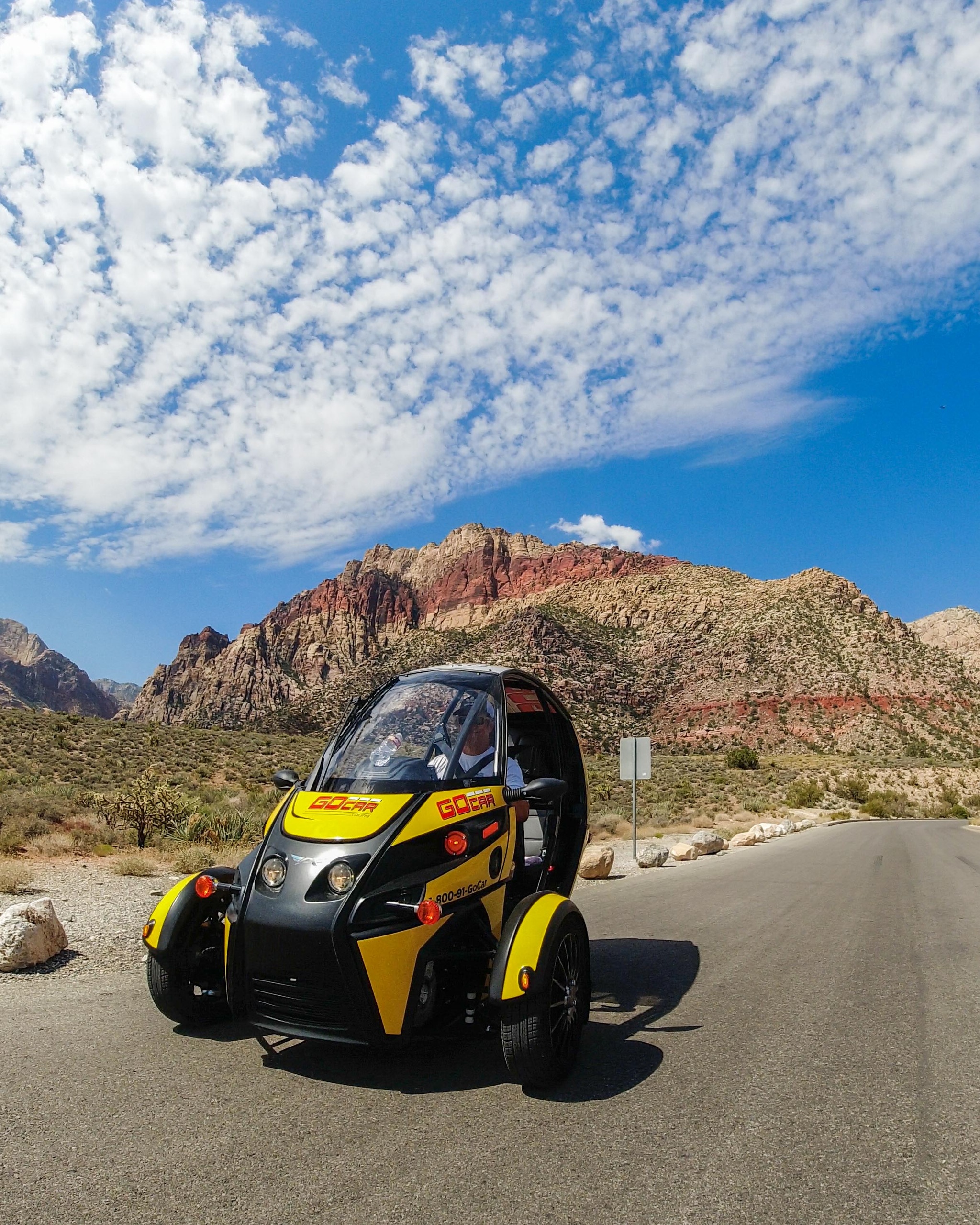
Wind in Your Hair: A Self-Drive Into Red Rock Canyon’s Scarlet Spine
Leave the Strip behind for a four-hour self-drive through Red Rock Canyon’s 13-mile Scenic Loop. In a compact GoCar with GPS narration, you’ll take in towering sandstone, sweep-view overlooks and quiet desert pulls—perfect for photographers, short-trip adventurers and anyone who wants to move slowly through dramatic landscape.
Las Vegas, Nevada

Vows a Mile High: Saying ‘I Do’ on the Grand Canyon Floor by Helicopter
Exchange vows on the canyon floor with a private helicopter, limo service, an officiant, and a professional photographer—an all-in package that turns geology into your wedding backdrop.
Tusayan, Arizona